Transforming industries through cutting-edge drone technology, precision mapping, and intelligent data analytics for construction, surveying, and inspection services.
Leveraging advanced drone technology to deliver unparalleled accuracy and efficiency across multiple industries and applications.
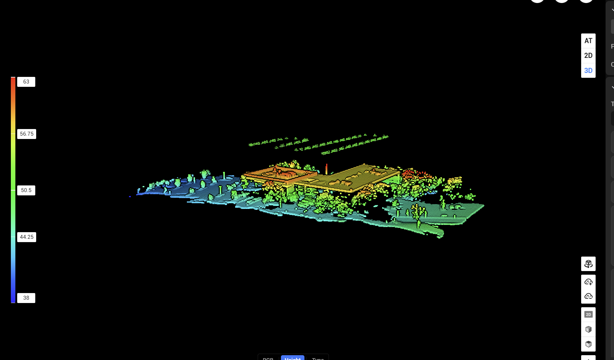
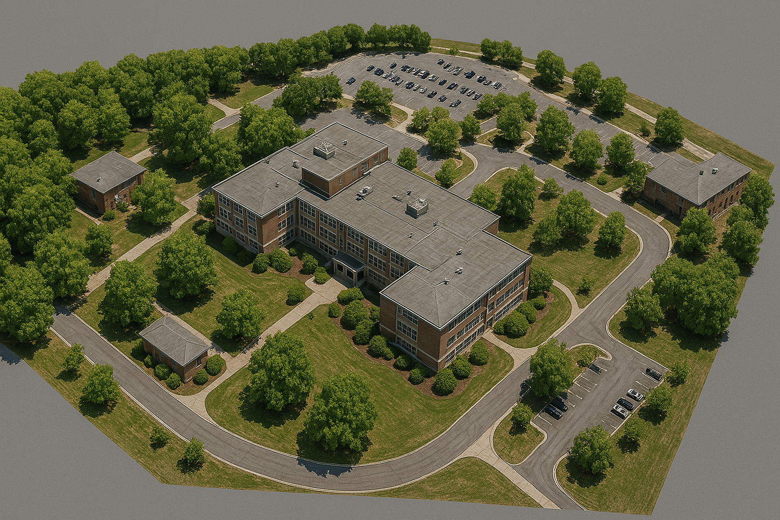
High-precision mapping and surveying with centimeter-level accuracy using advanced photogrammetry and LiDAR technology.
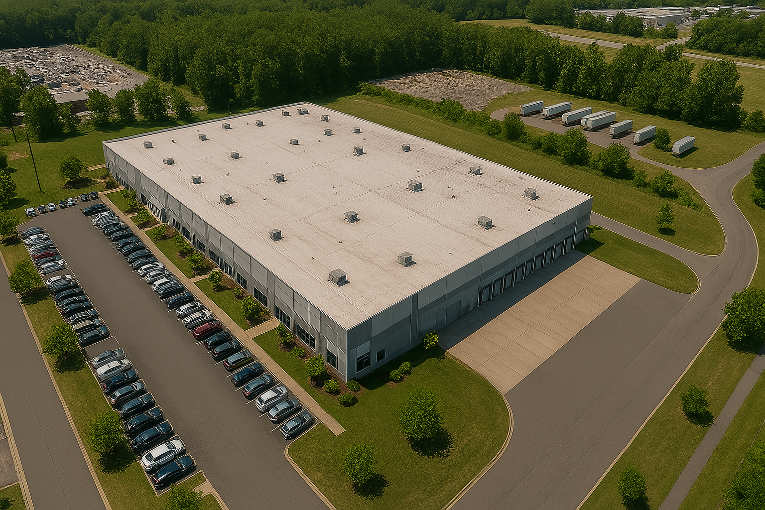
Real-time progress tracking and comprehensive site documentation for construction projects with safety compliance monitoring.
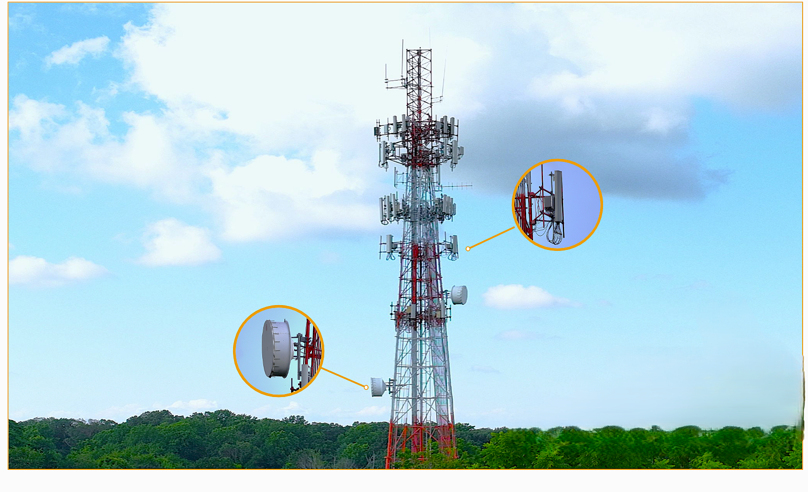
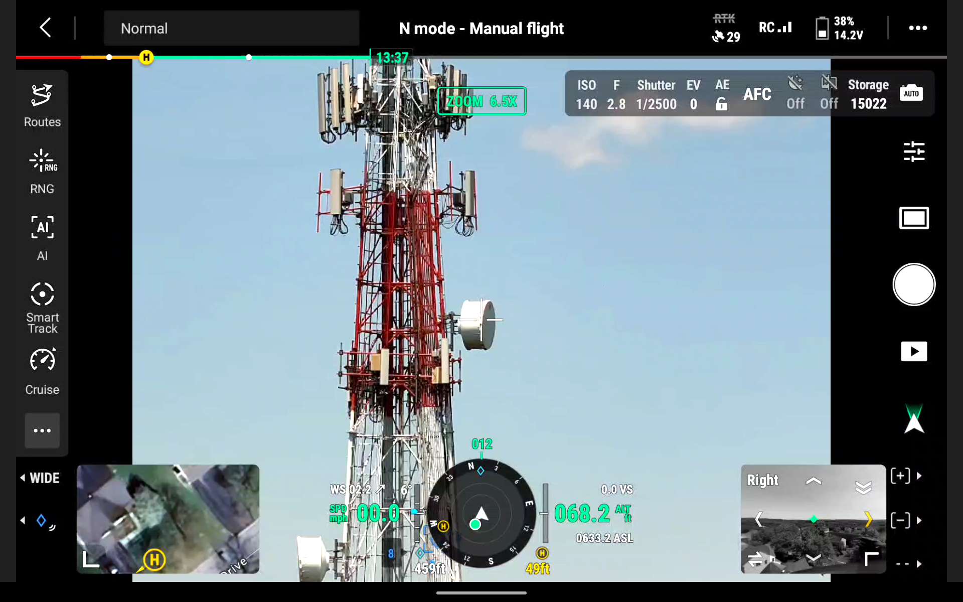
Comprehensive structural assessments with thermal imaging and predictive maintenance solutions for critical infrastructure.
.png)
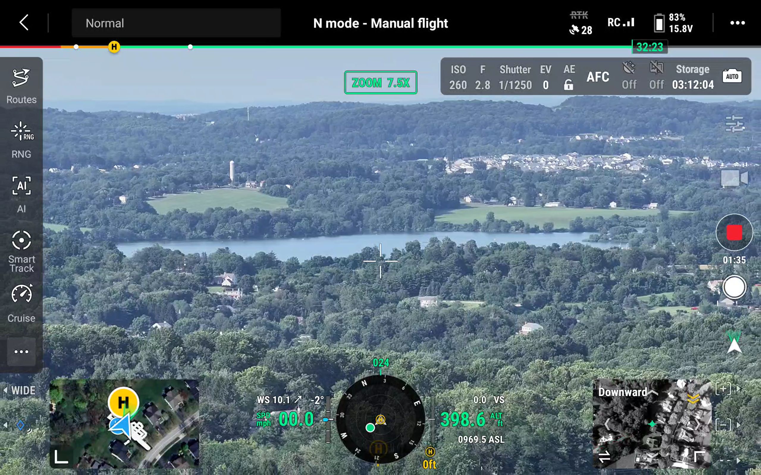
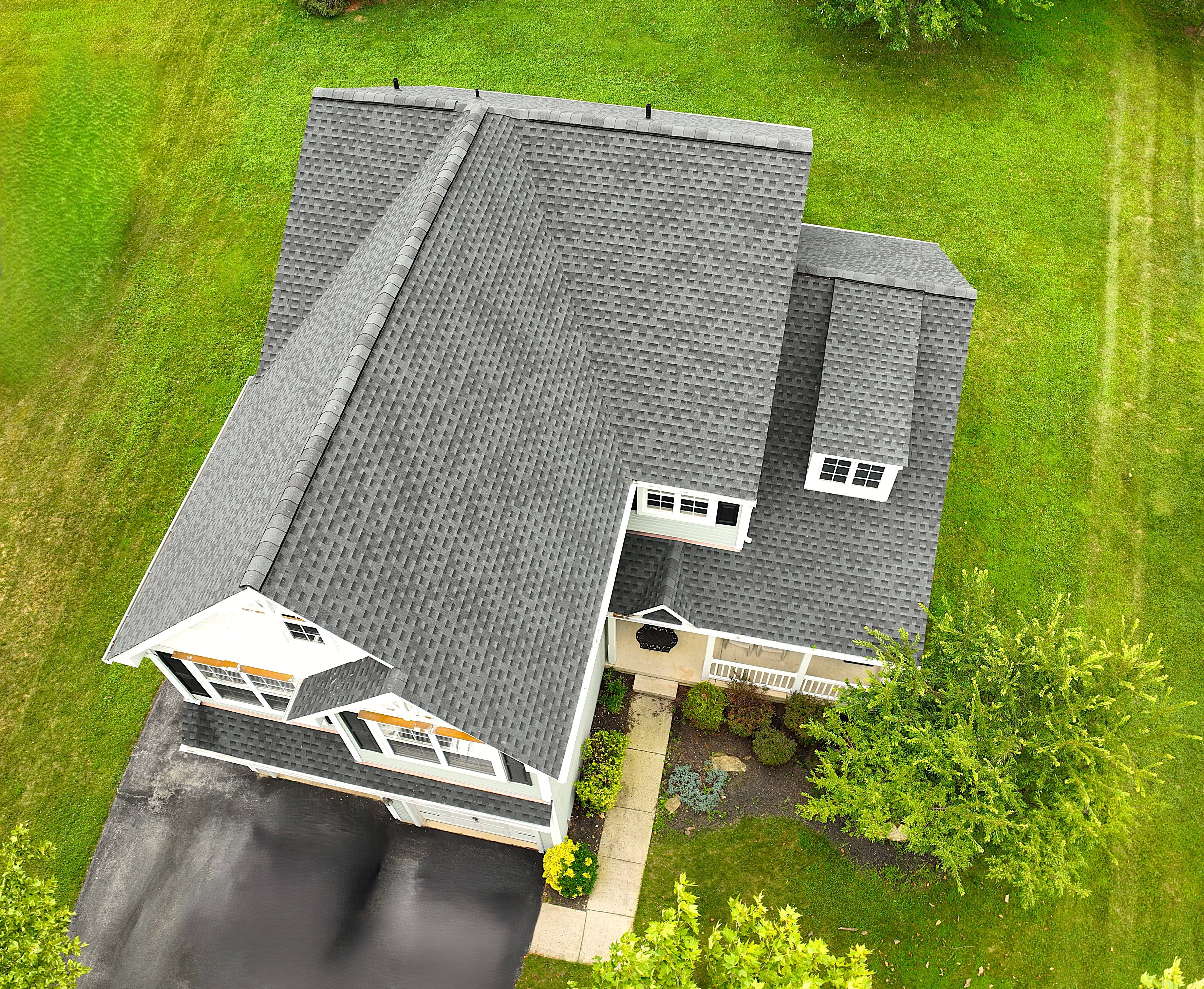
Our fleet of advanced drones equipped with cutting-edge sensors capture comprehensive data sets.